

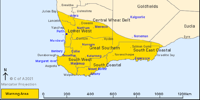
A severe weather warning now includes Mandurah, Perth and the South West.
A strong cold front will move from Jurien Bay down to Bremer Bay on Monday afternoon and into the evening bringing with it showers, thunderstorms and damaging winds of up to 100km/h.
"This is typical weather for this time of the year but winds may cause damage to property and make road conditions hazardous," a BOM spokesperson said.
Another cold front passed across the South West and Great Southern regions early on Monday morning but has now eased.
Cape Leeuwin recorded a wind gust of 94km/h at 10:35pm, while Rottnest Island recorded a wind gust of 94km/h at 1:24am.
If your home or property has significant damage, like a badly damaged roof or flooding, call the SES on 132 500.
 Welfare concerns for woman with dementia last seen in Cooloongup
 Charges laid over fatal West Coolup crash
 Final boiler comes crashing down at old Kwinana Power Station
 Kwinana Police seek public's help to find wanted man
 Police continue to investigate assault during Rockingham Christmas lights activation
 Man charged after allegedly setting 12 grass trees on fire in South West state forest
 Lake Clifton Campers air rescued after becoming stranded in wild weather
 Men charged after traffic stop in West Pinjarra leads to 80kg drug seizure
 Green waste fees waived for Mandurah residents after weekend storms